

The Yawp! Company has been going places and doing things--so many places and so many things, in fact, that there hasn't been much time to blog about said places and things. That means you're in for more photos than words, which is likely for the best.
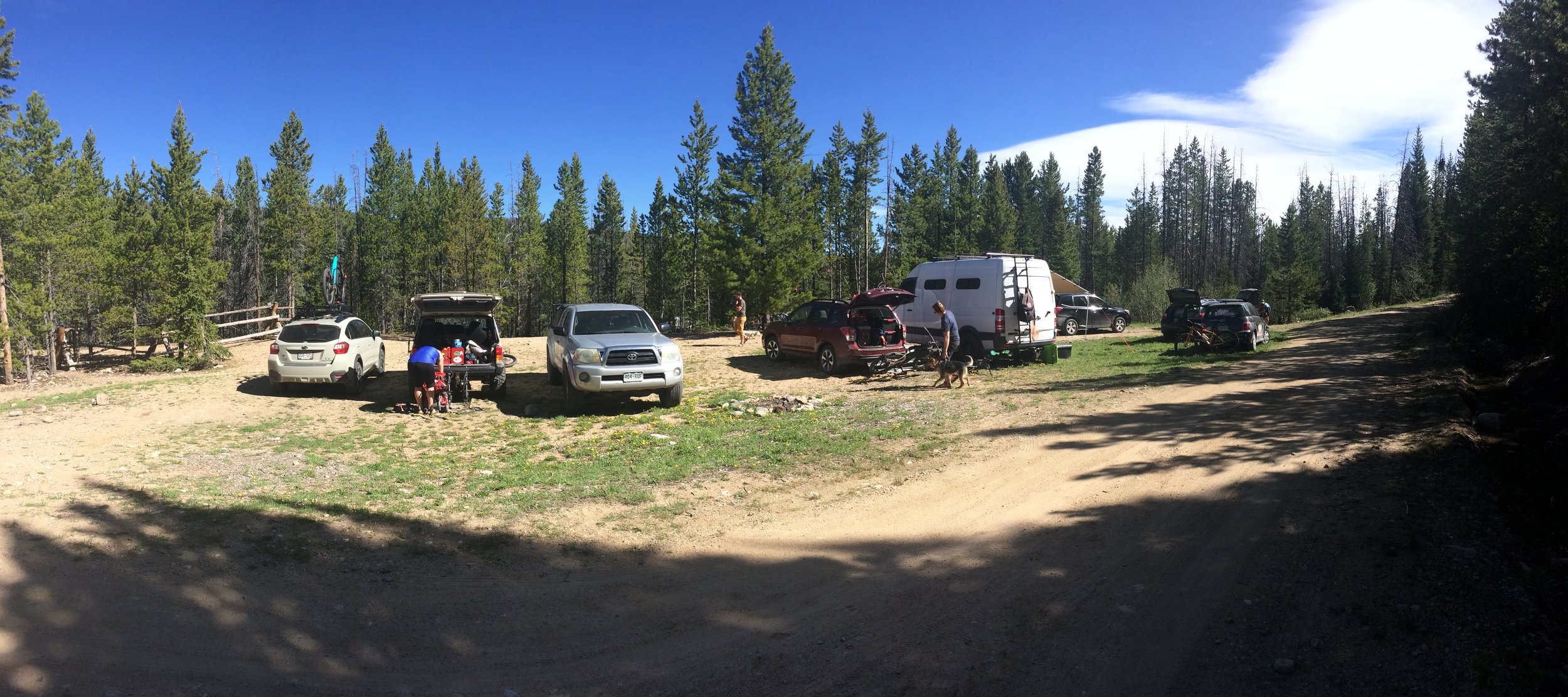
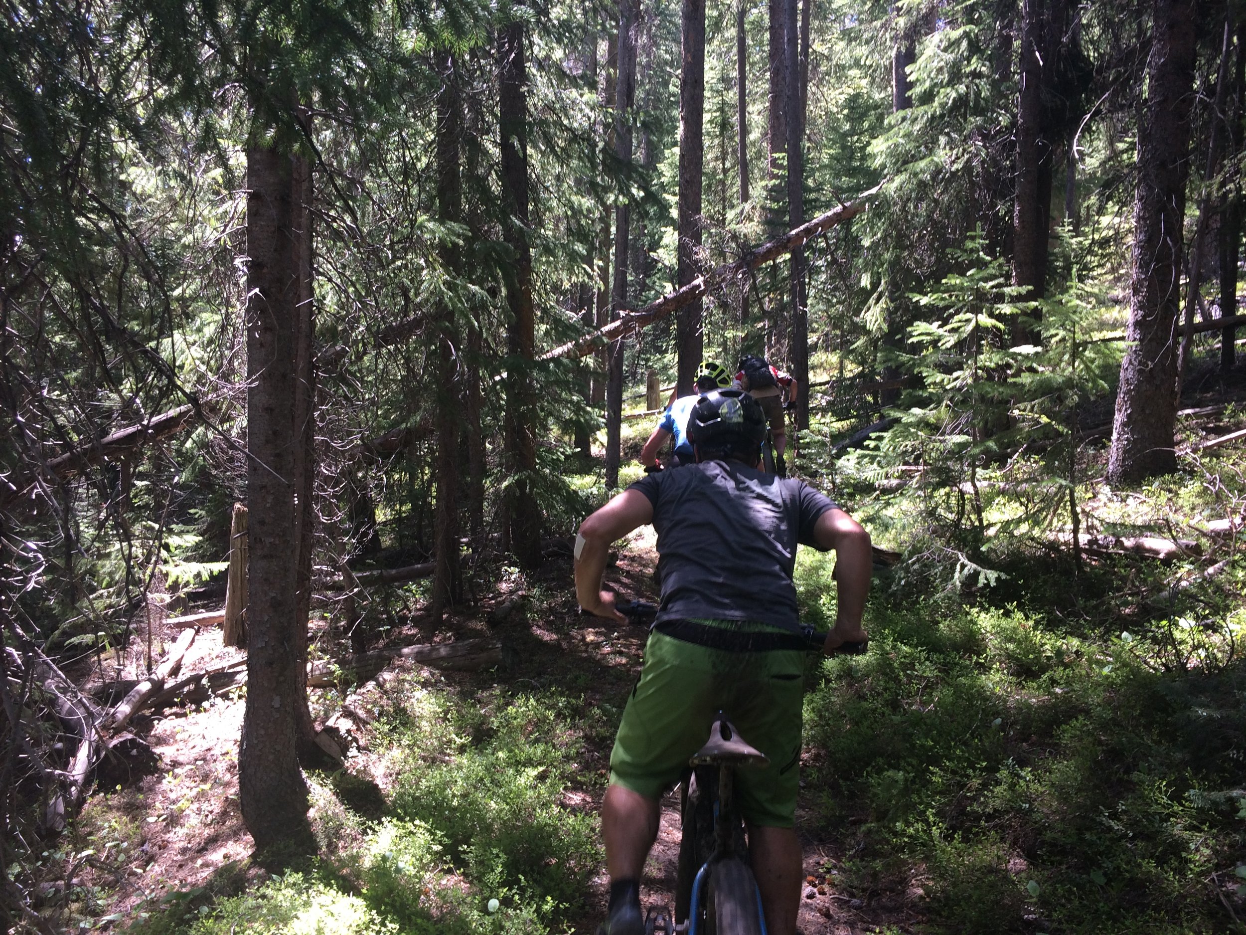
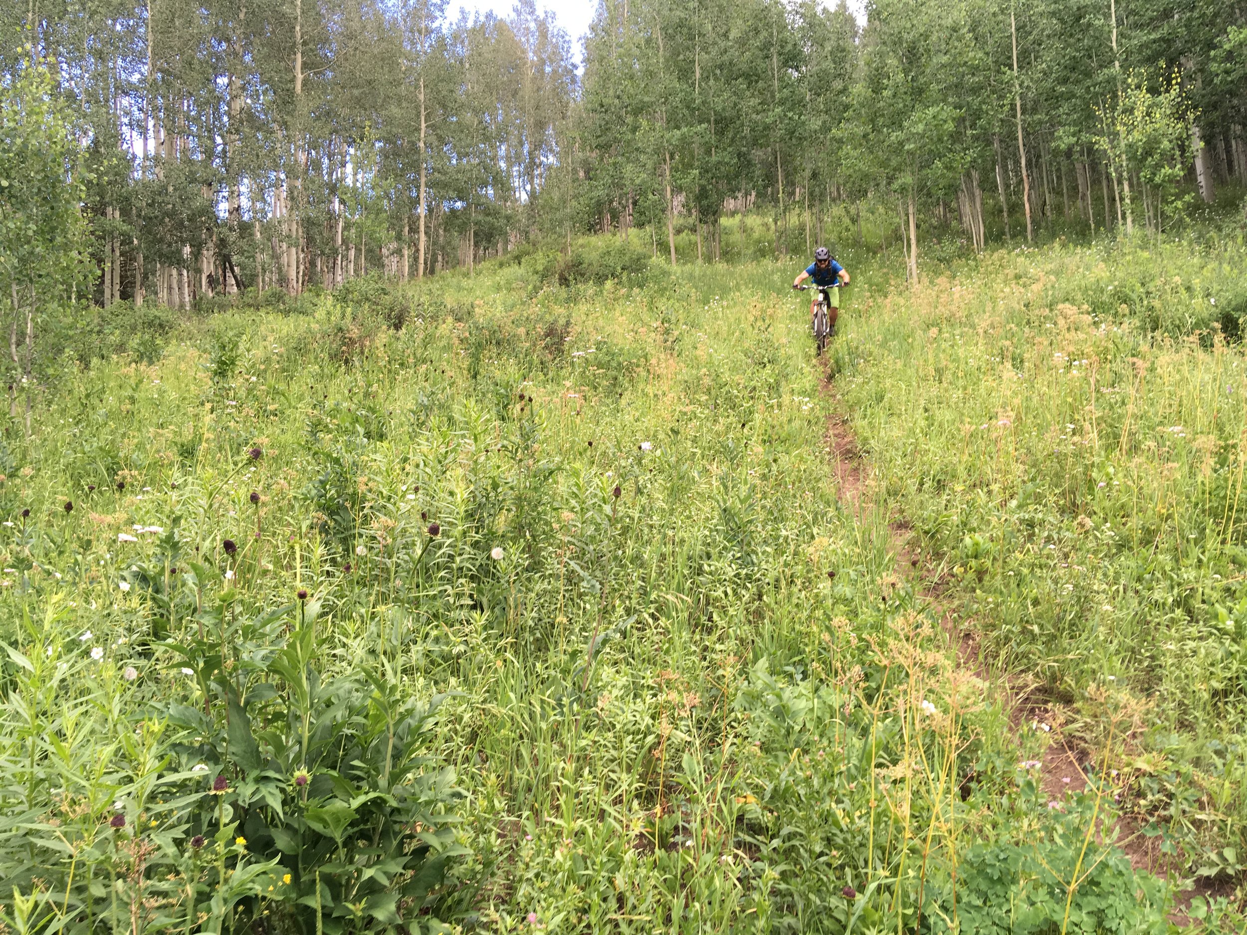
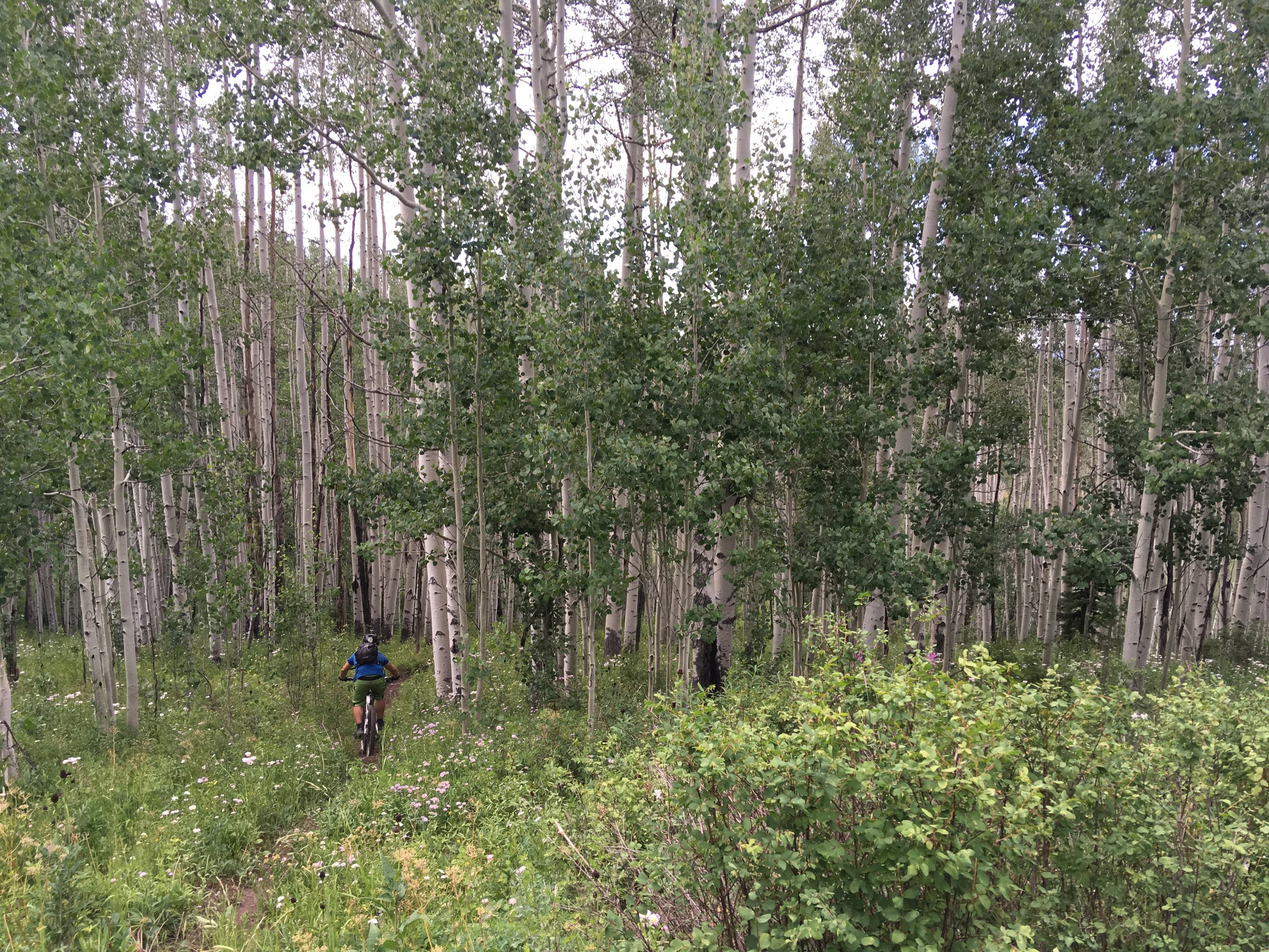
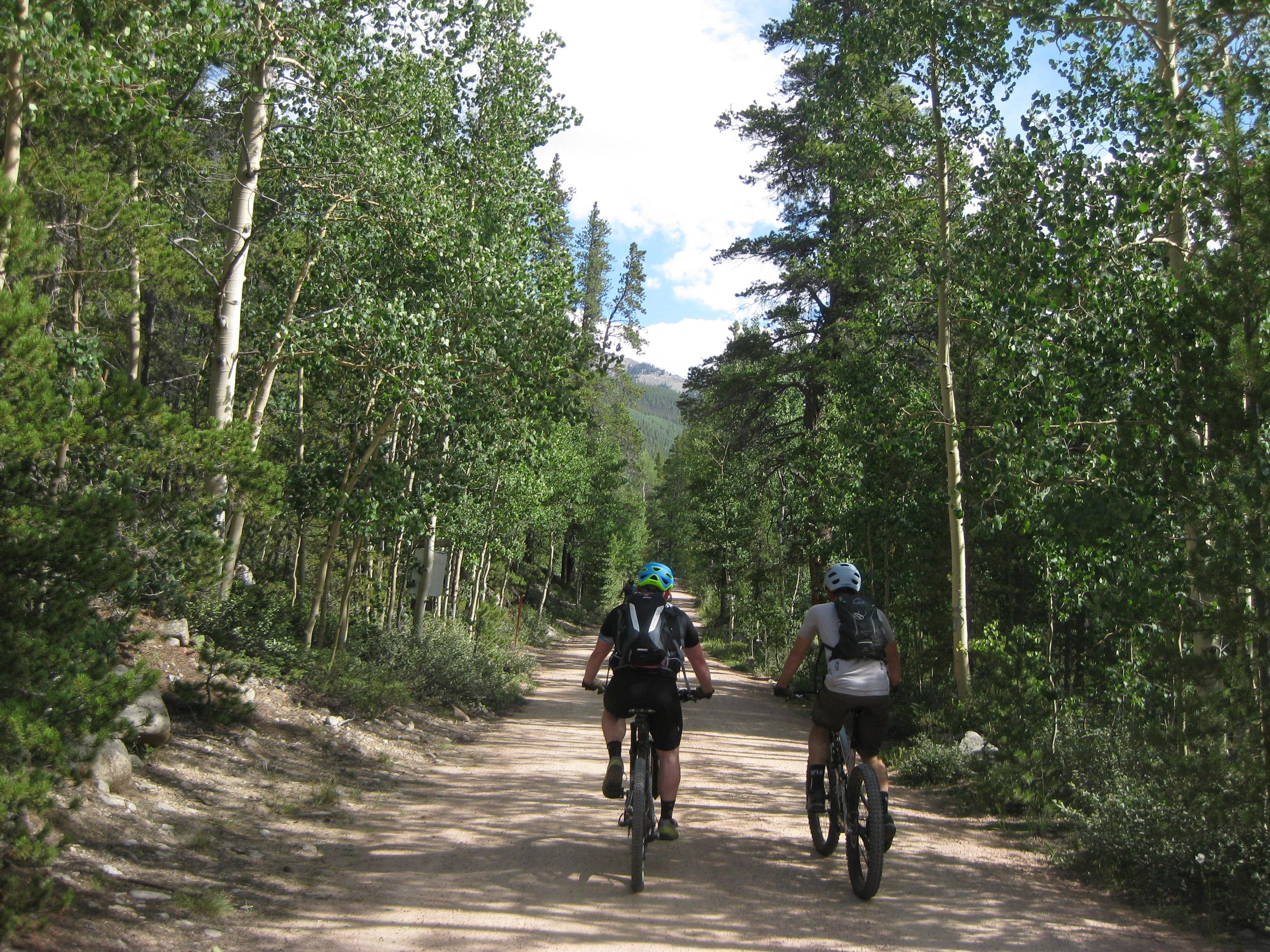
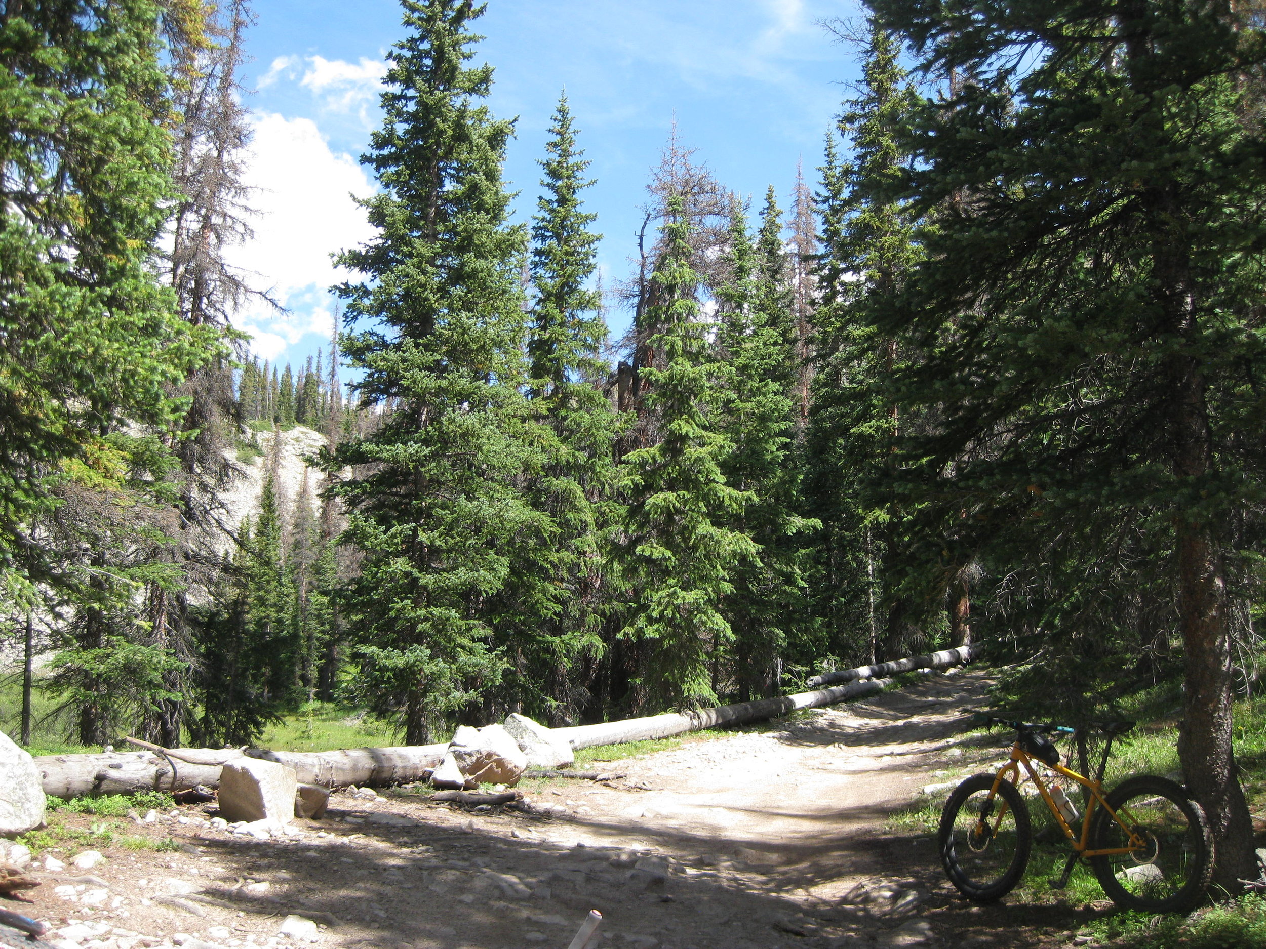
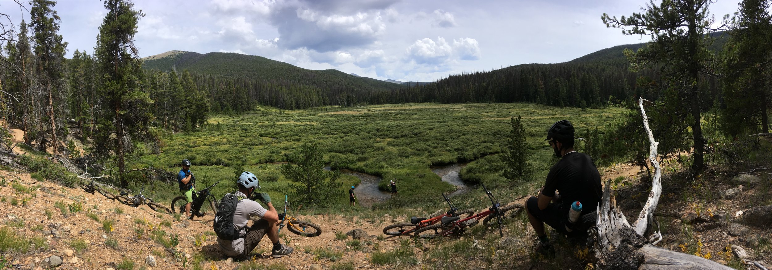
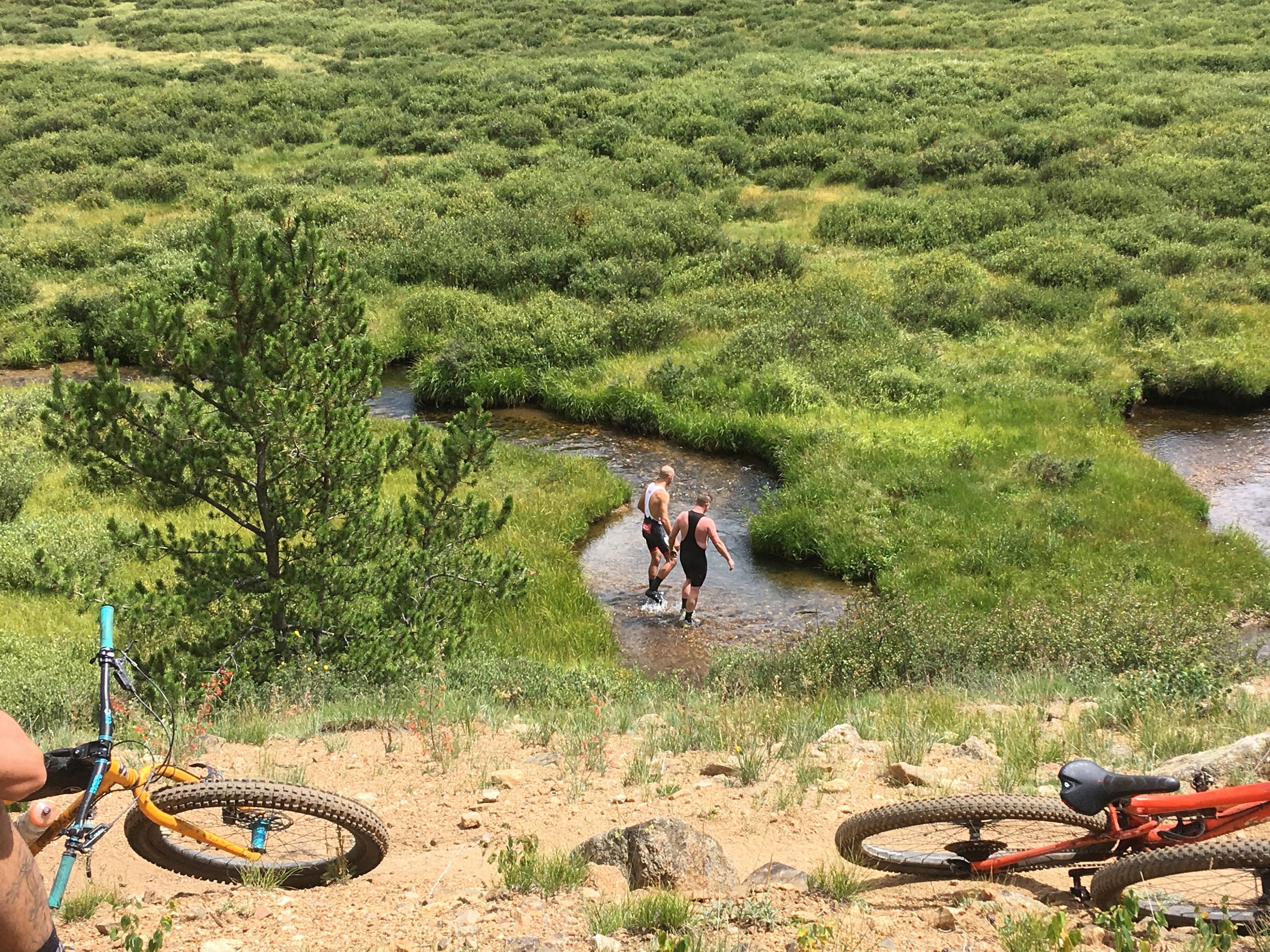
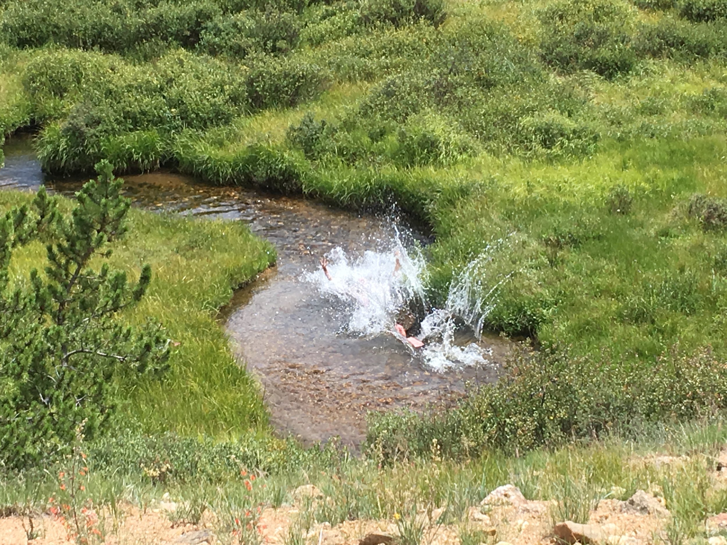
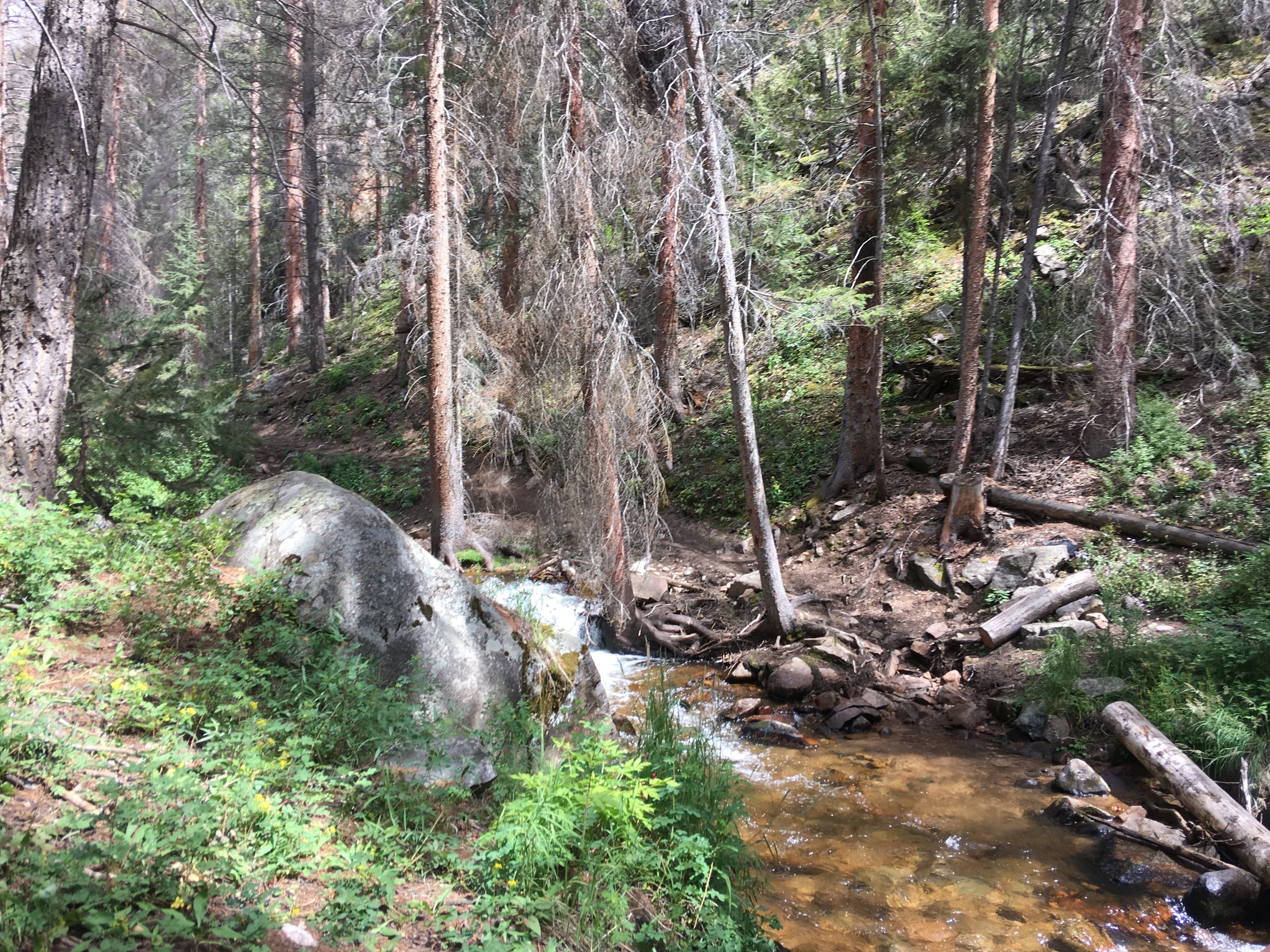
We went to Winter Park in June, where the 30-mile Tipperary Creek loop somehow became 40 and where a long descent back to camp was mostly uphill. It was a gorgeous day, though, and we had the trails to ourselves.
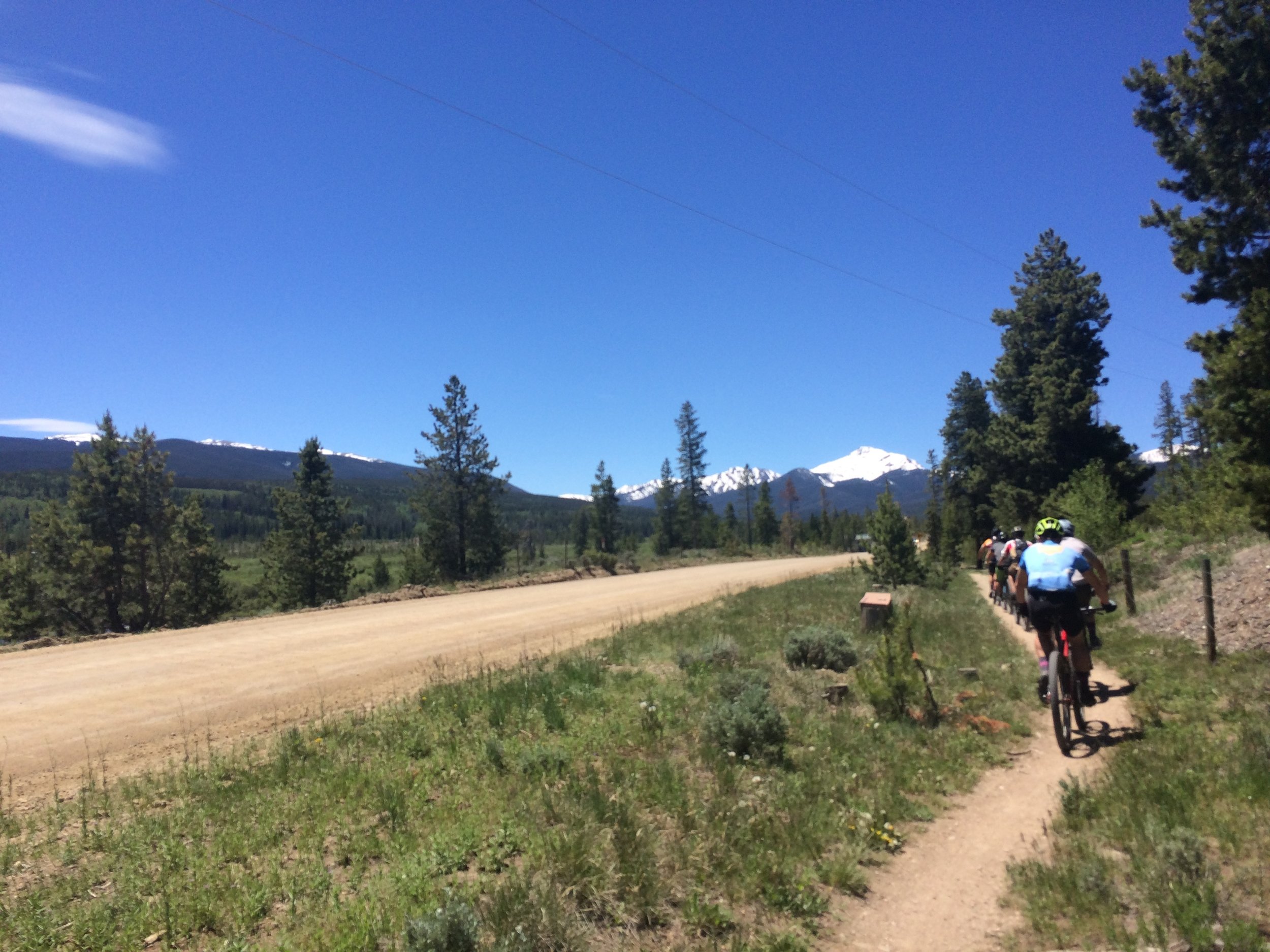
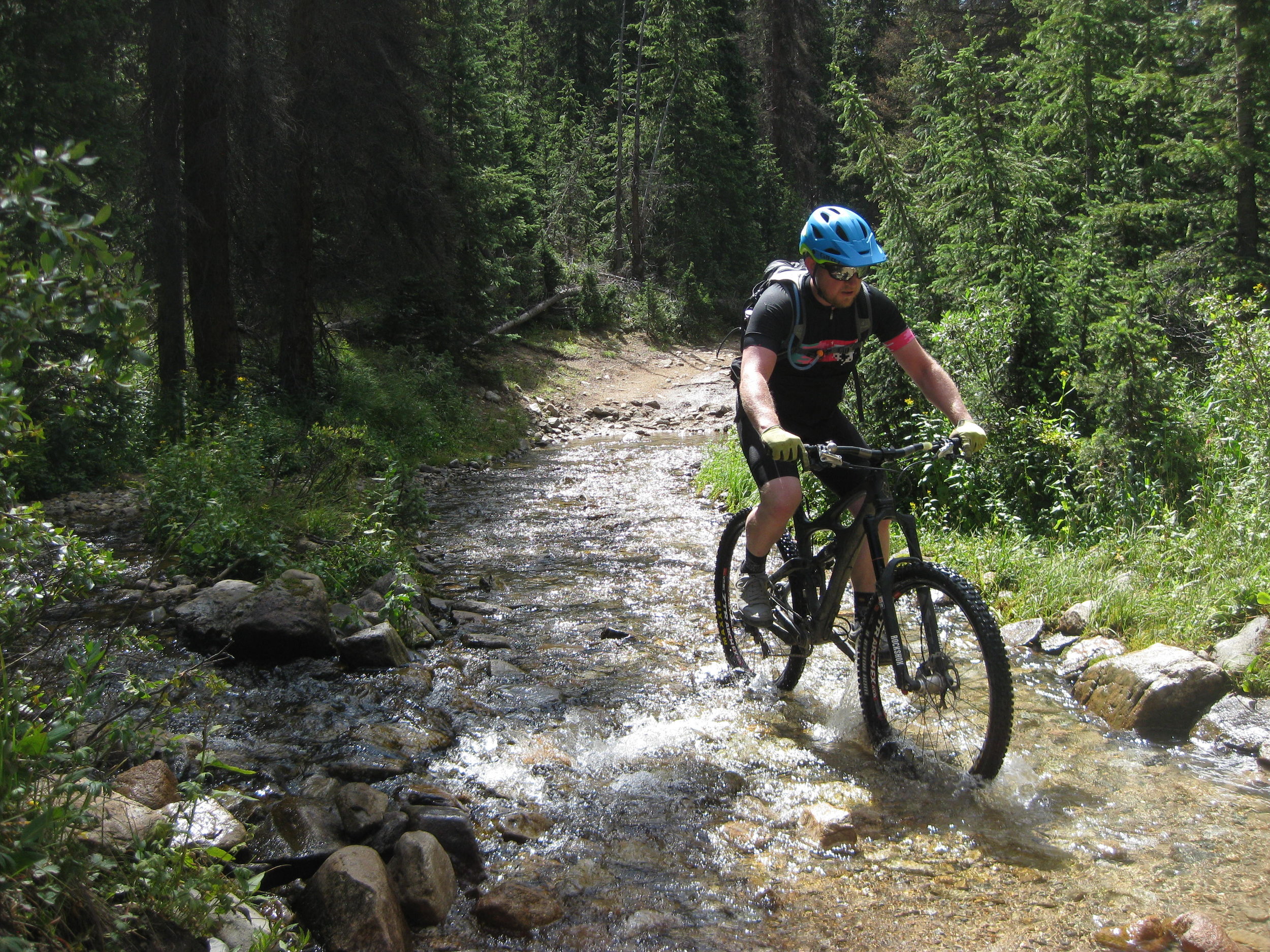
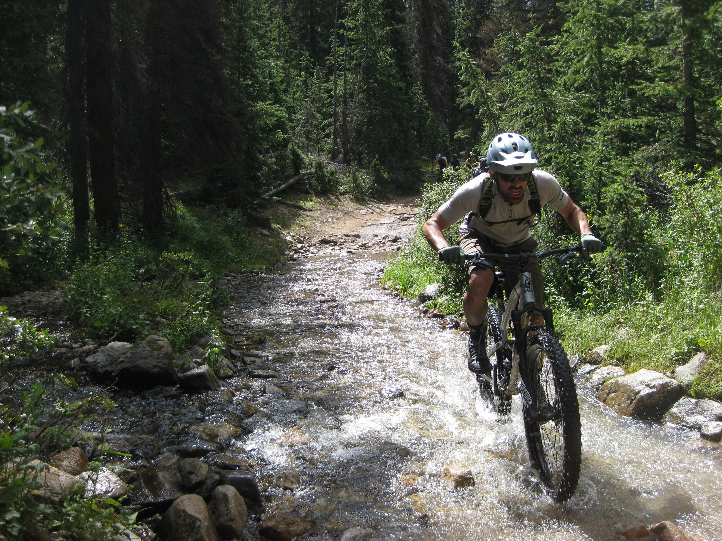
We saw a moose along way, but in all of my photographs the moose is indistinguishable from the foliage. You'll just have to imagine a moose in all of its awkward and deranged glory schlomping about in the swamp willows. Here are a few humans schlomping about in the damp, spring forest:
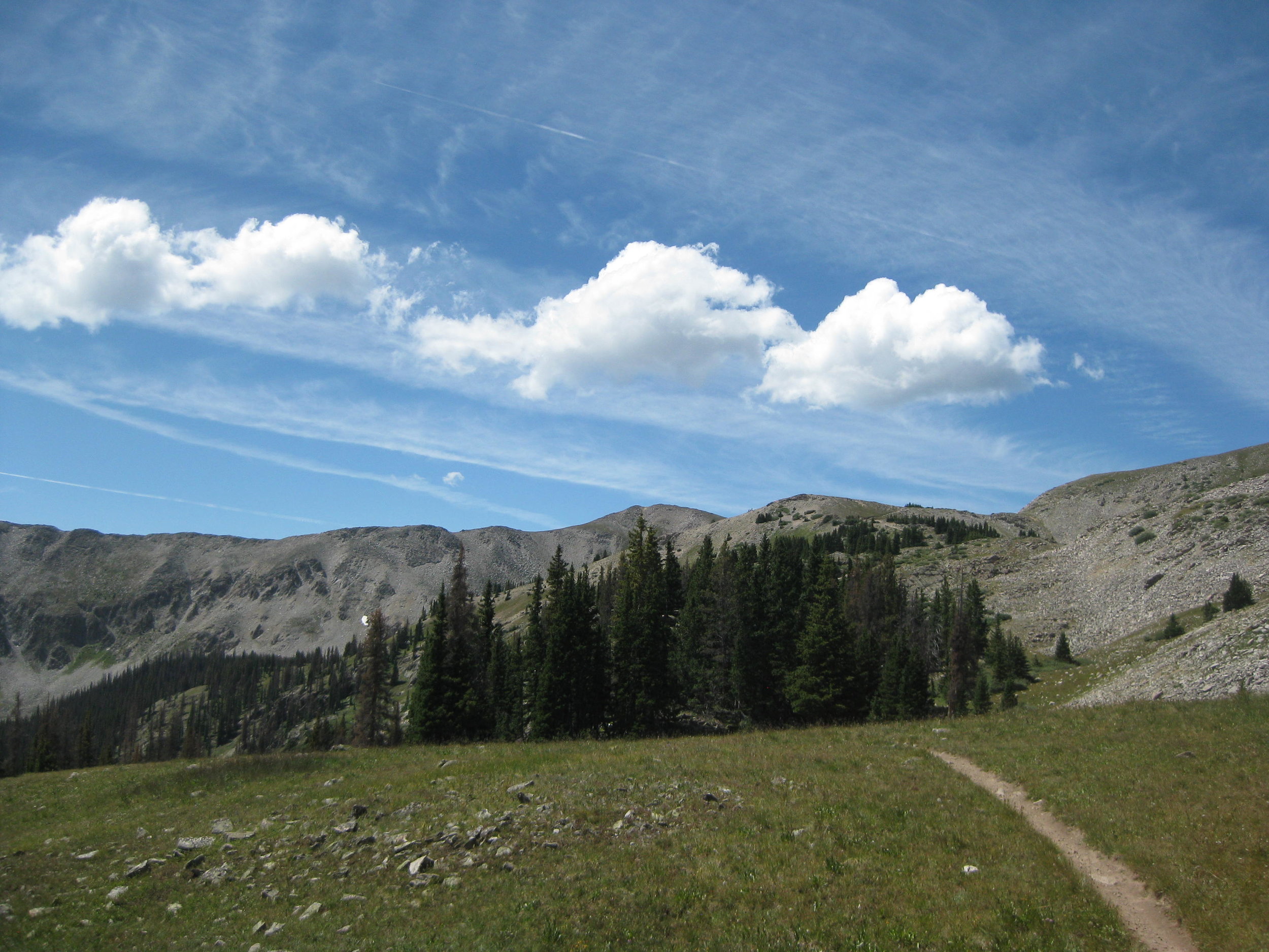
In July we went to Aspen. It was hot.
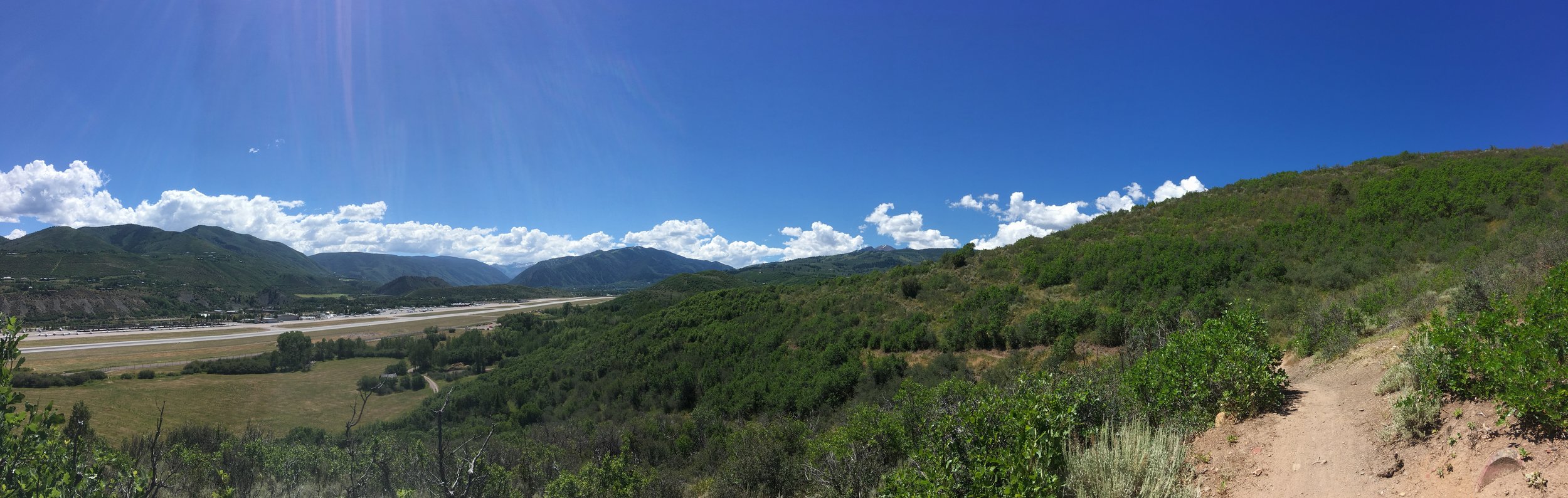
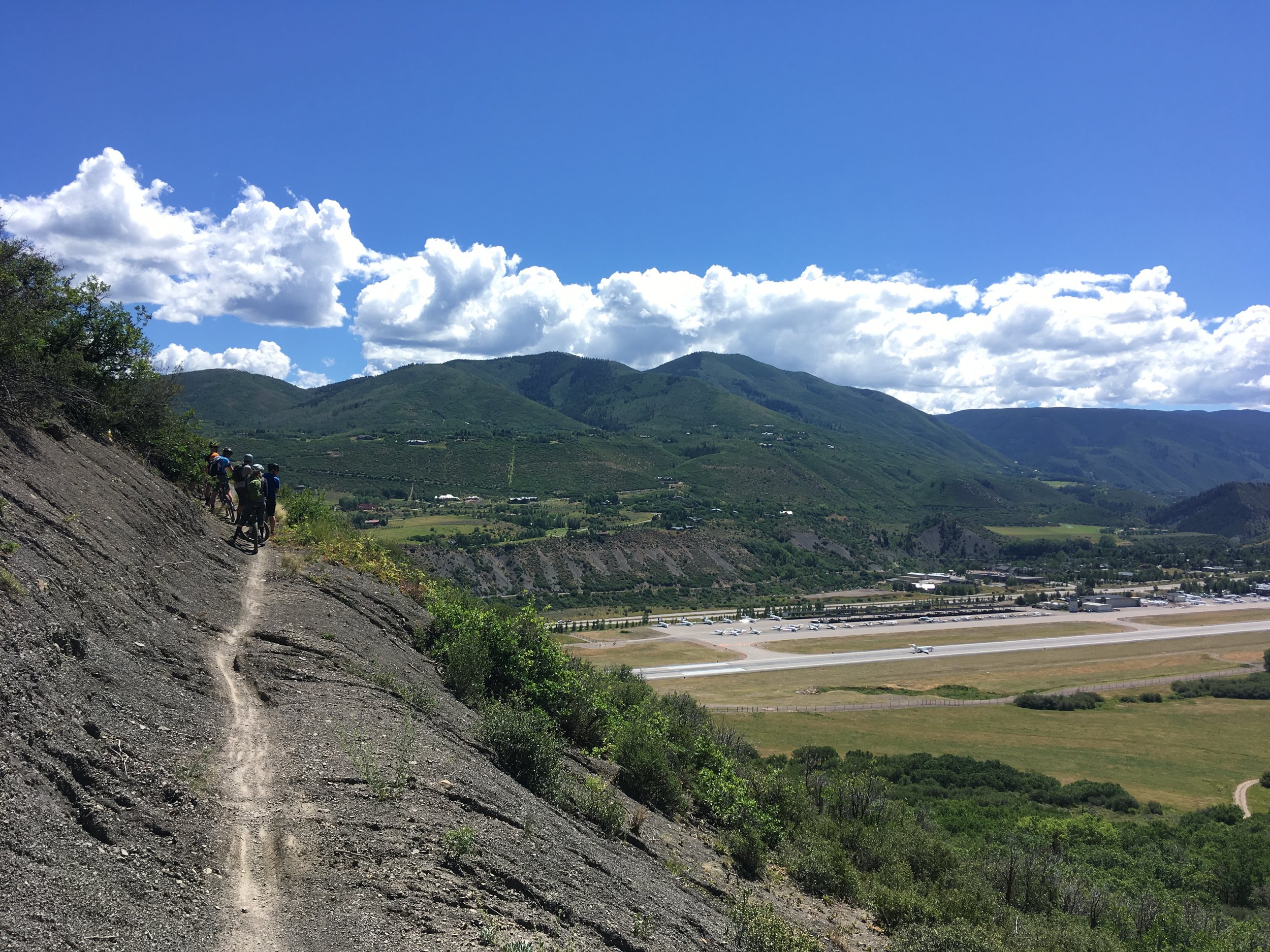
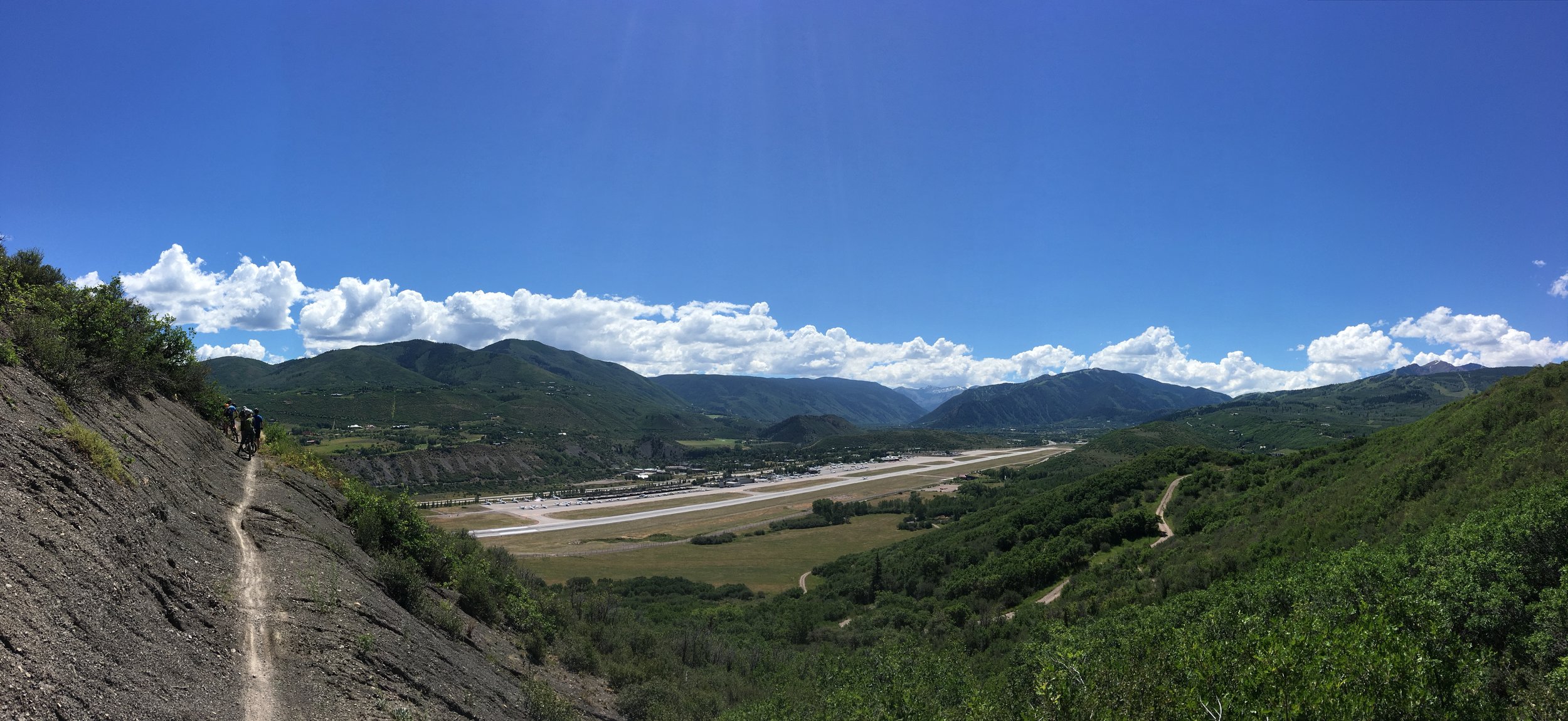
Are you the kind of person who's easily confused by trail names? You'd better hope you're not if you're riding in Aspen. Highline, Lowline, Butterline, Viewline, Skyline. We rode a 20-mile loop that was quite pleasant (but hot) and made totally worthwhile by the descents down Deadline, Airline, and Youhavetobekiddingmeline.
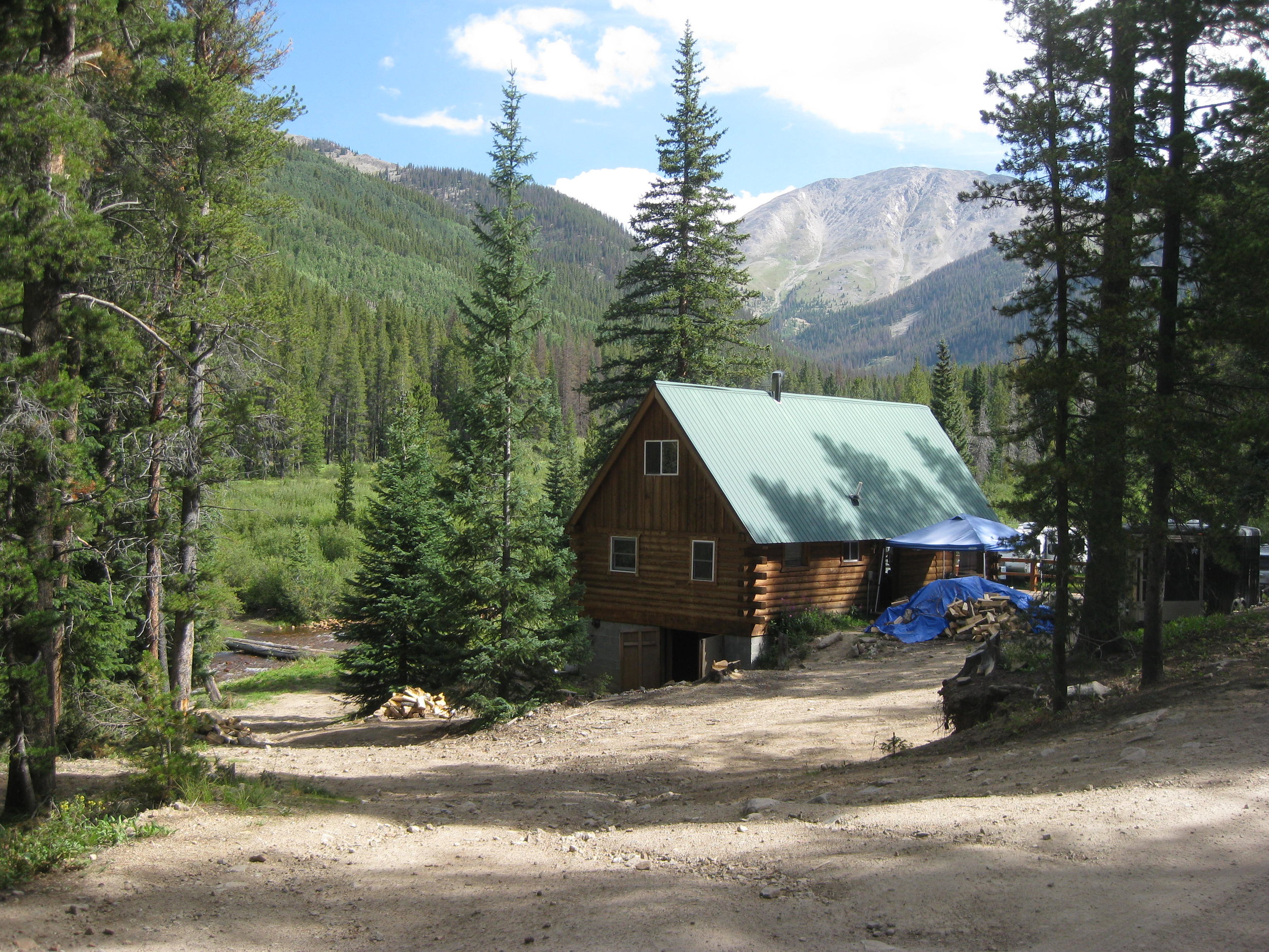
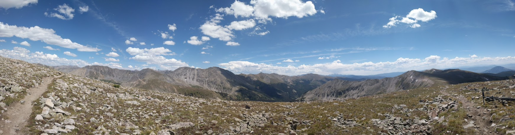
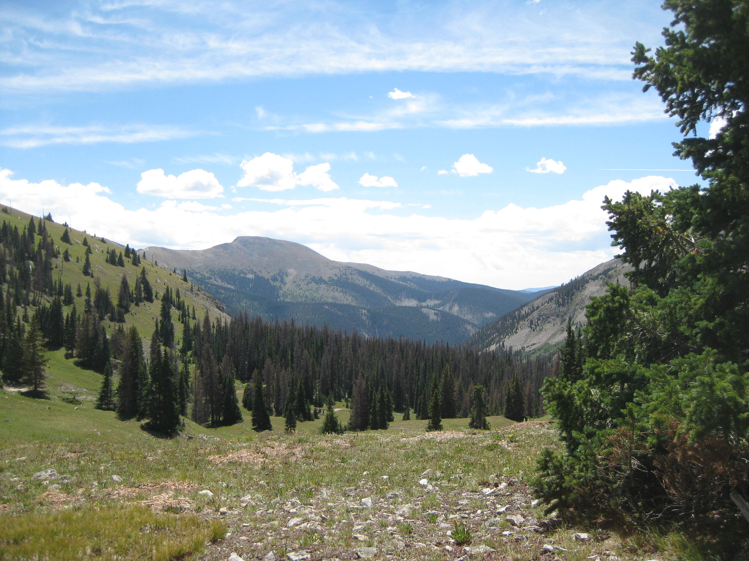
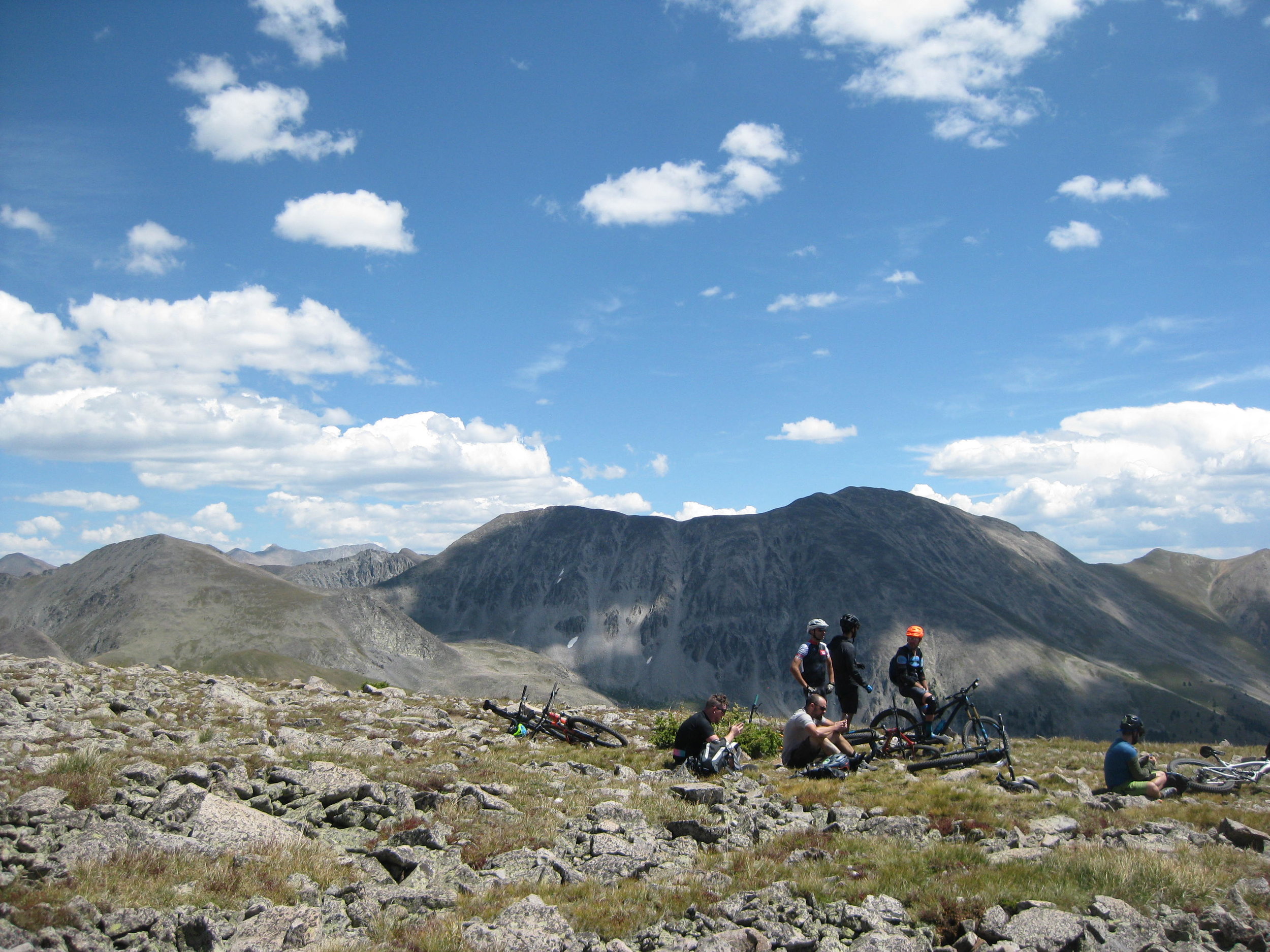
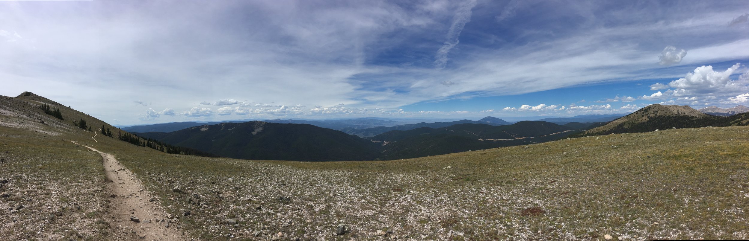
That afternoon, when temperatures became oppressive, we decided to climb a steep and exposed fire road. I can't recall a more unpleasant climb. We did, at least, get to sit on bench and look out at one of those landscapes that a photograph can't quite represent.

That was followed by miles of riding a trench that was six inches across and six inches deep. It was just like shooting whomp rats back home.
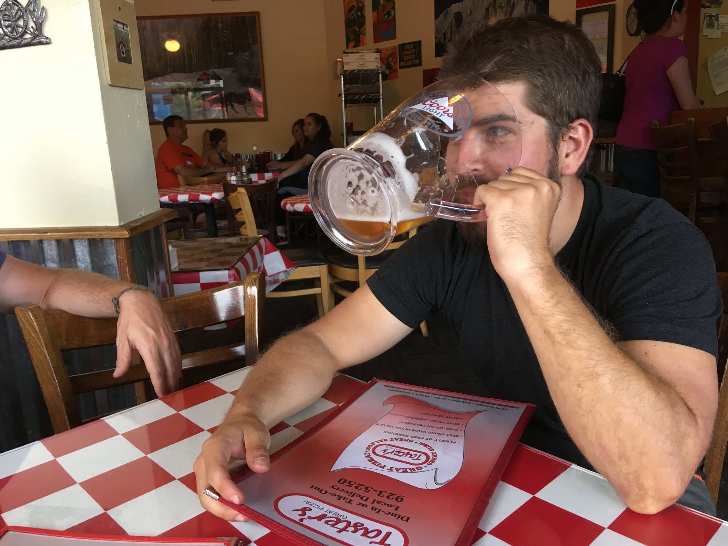
That was followed by a little beer.
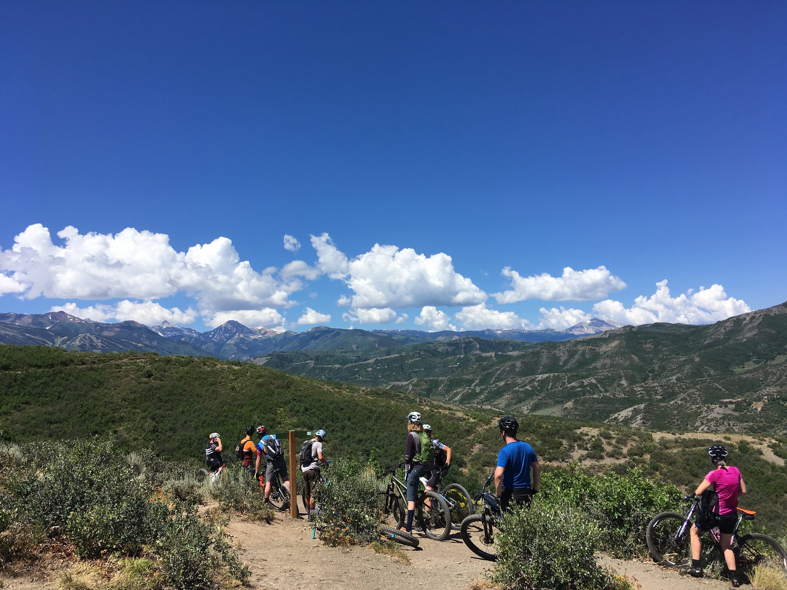
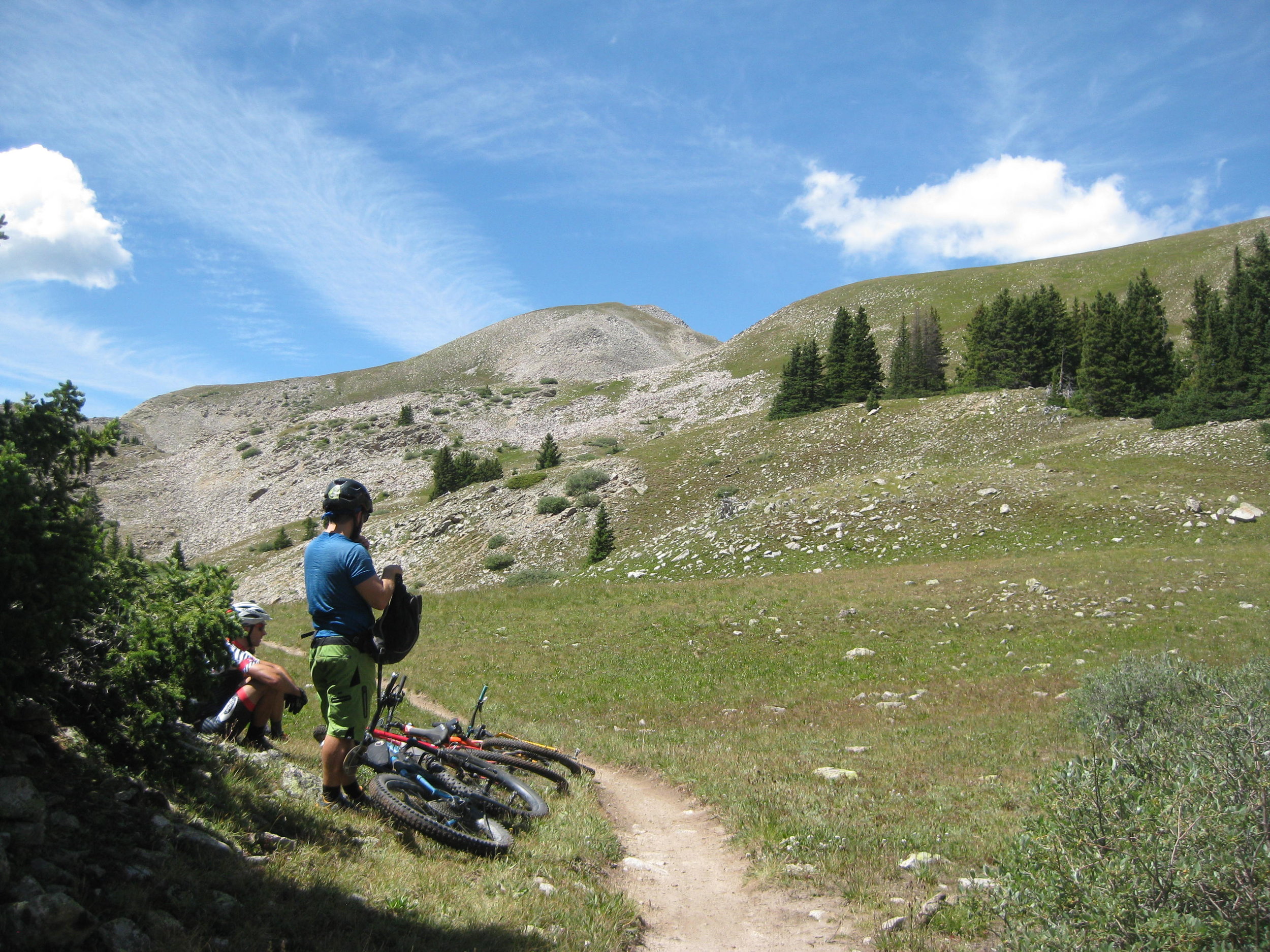
In August we went west of Monarch Pass to ride Canyon Creek and Agate Creek. Canyon Creek was really hard.
You can see more stars from Snowblind Campground than pretty much anywhere else in the state. It's really magnificent. It would take less time to count the spots of darkness amongst the stars than the stars themselves.
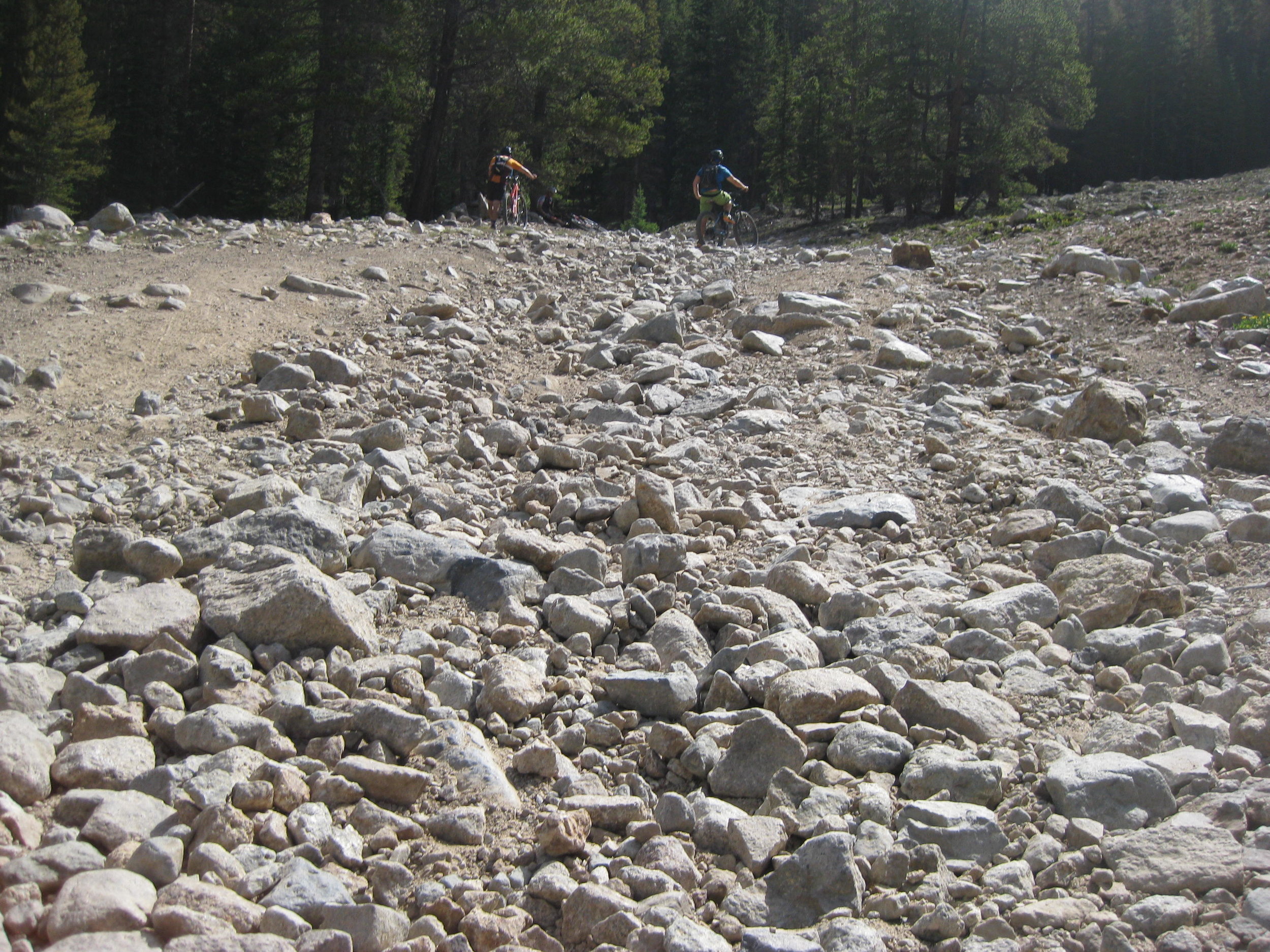
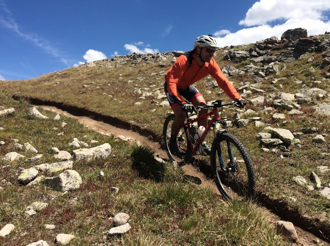
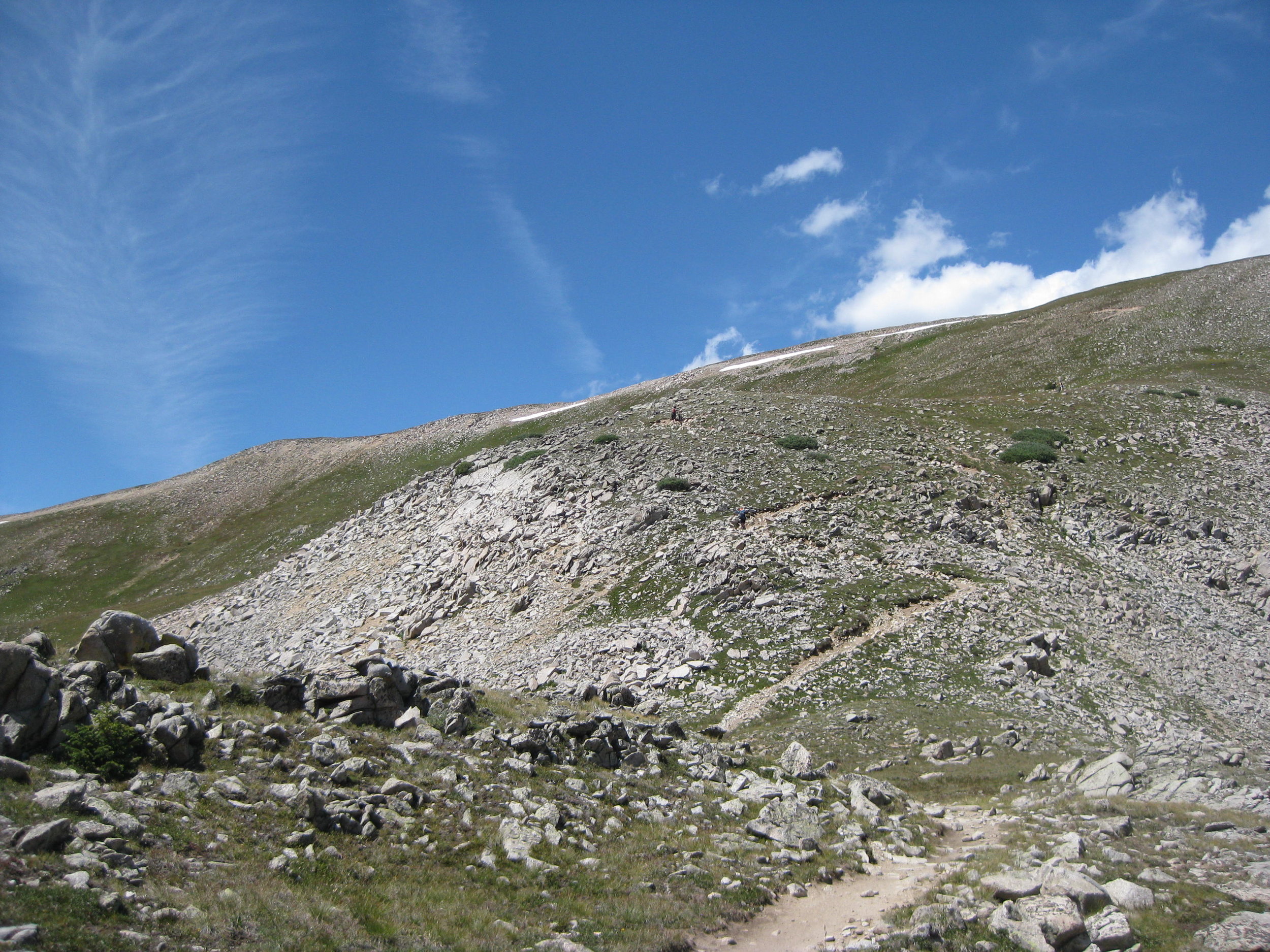
From Snowblind Campground the fire road climbs for 9-miles and 3600 feet.
It's hard to tell from this perspective just how menacingly steep some sections are.
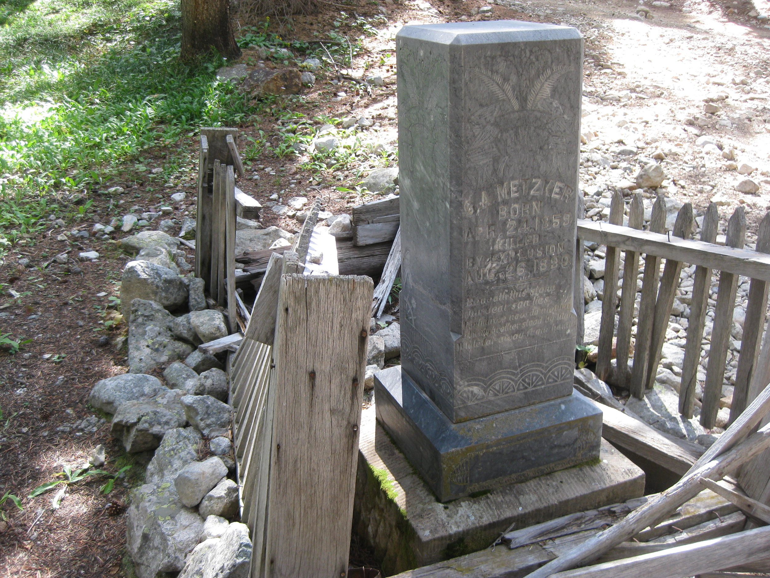
There was a graveyard halfway up. Read as far into that as you want.
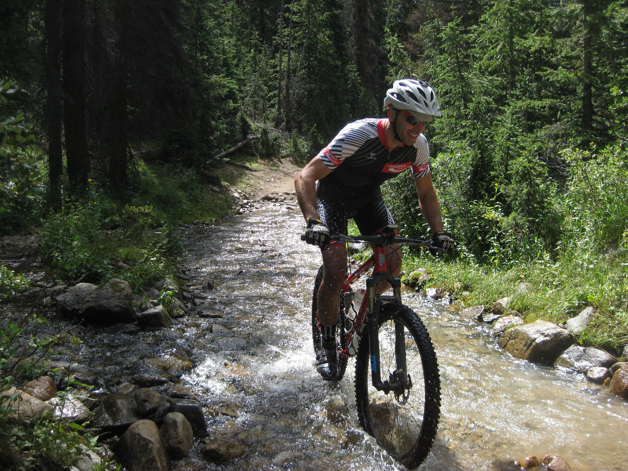
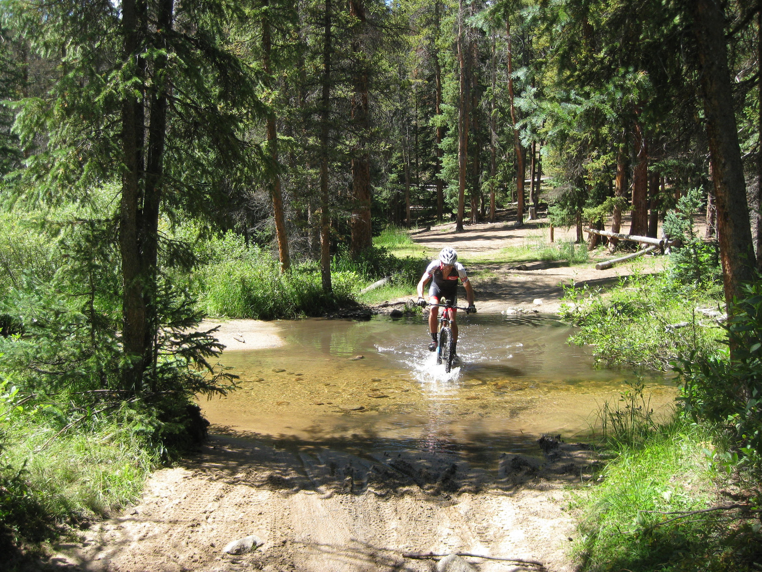
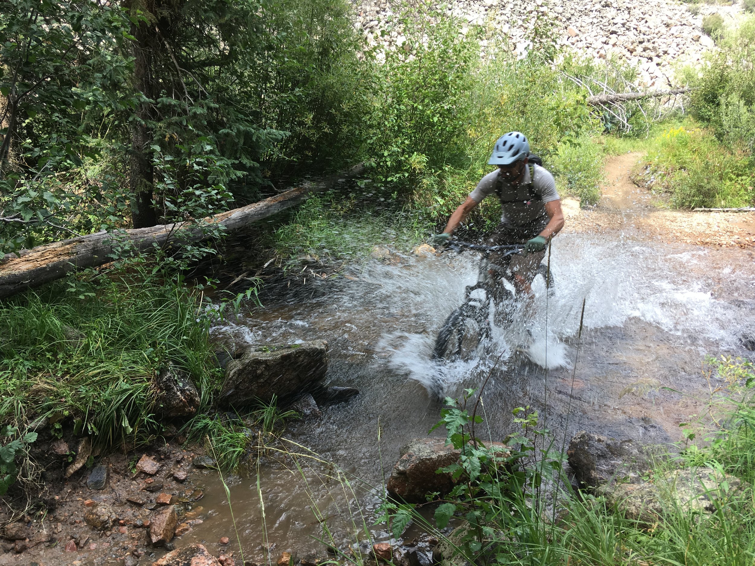
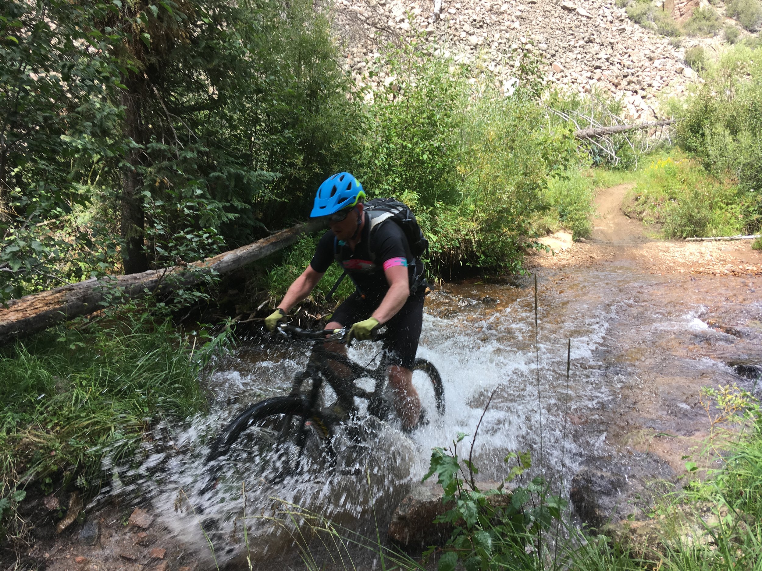
This was the last time for two days that we had dry feet:
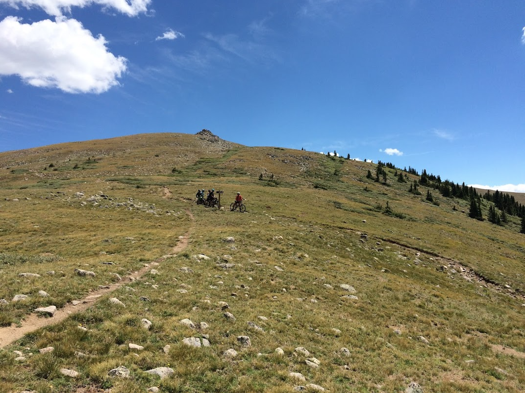
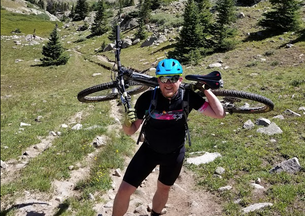
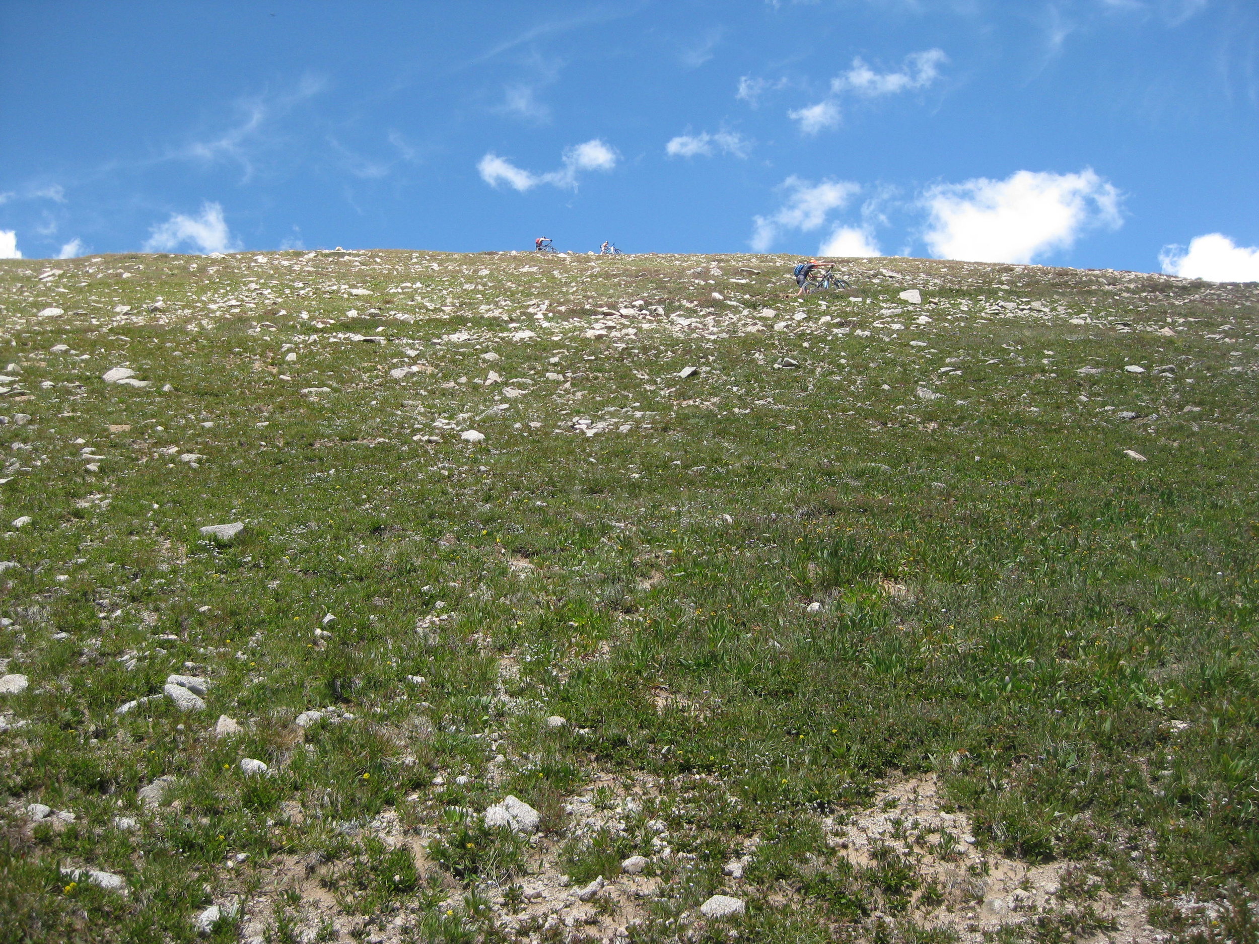
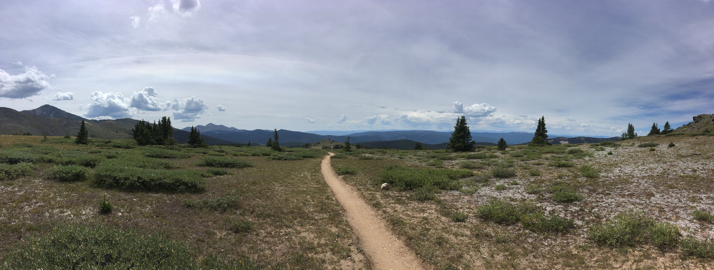
When the singletrack starts, the good news is that the terrible fire road climb is over. The bad news is that it's time to shoulder your bike and heft it up this mountain. It takes about 45 minutes.
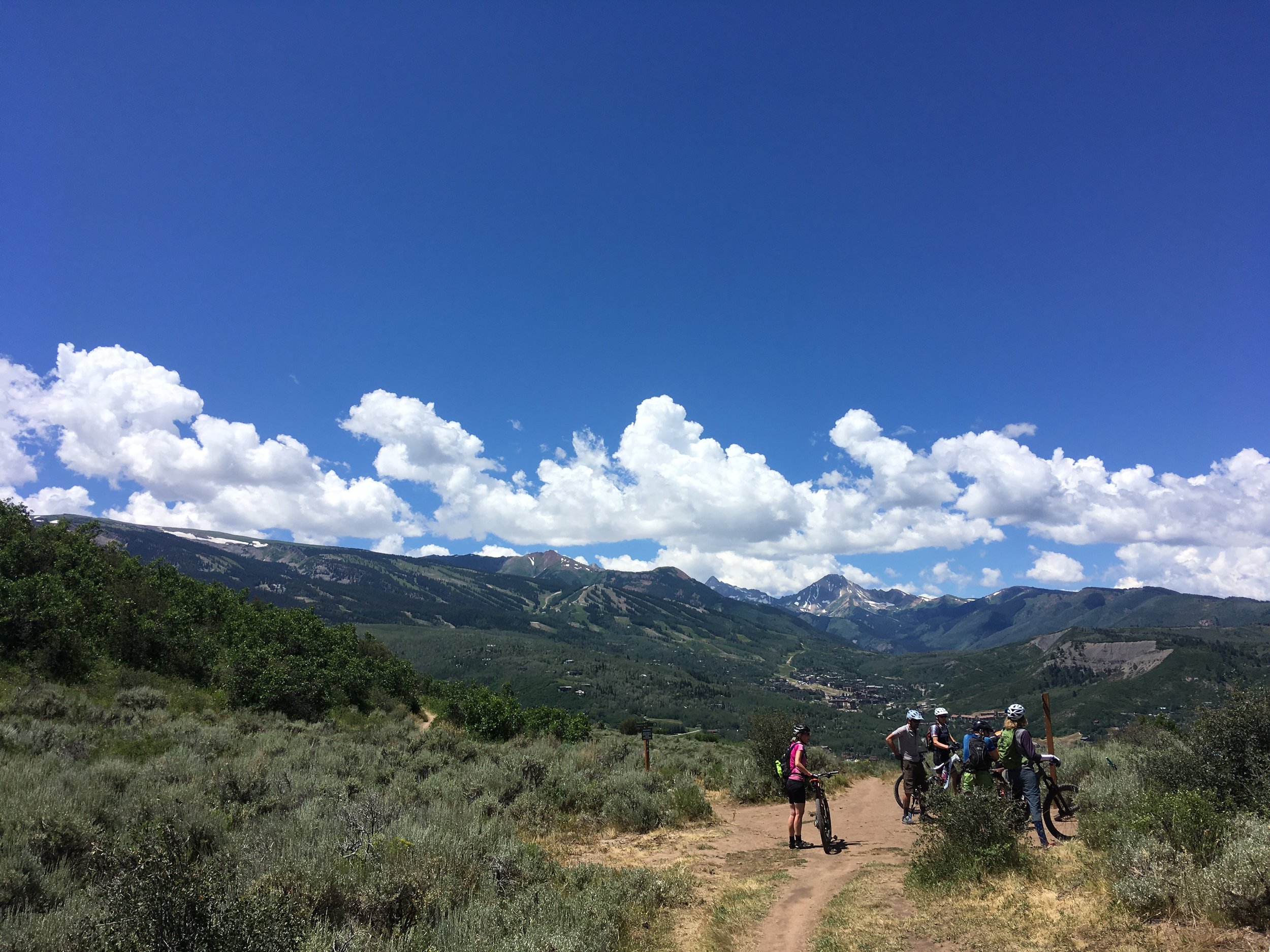
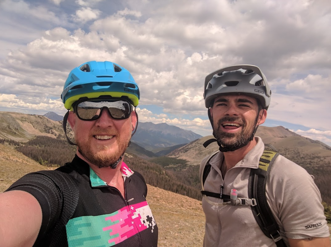
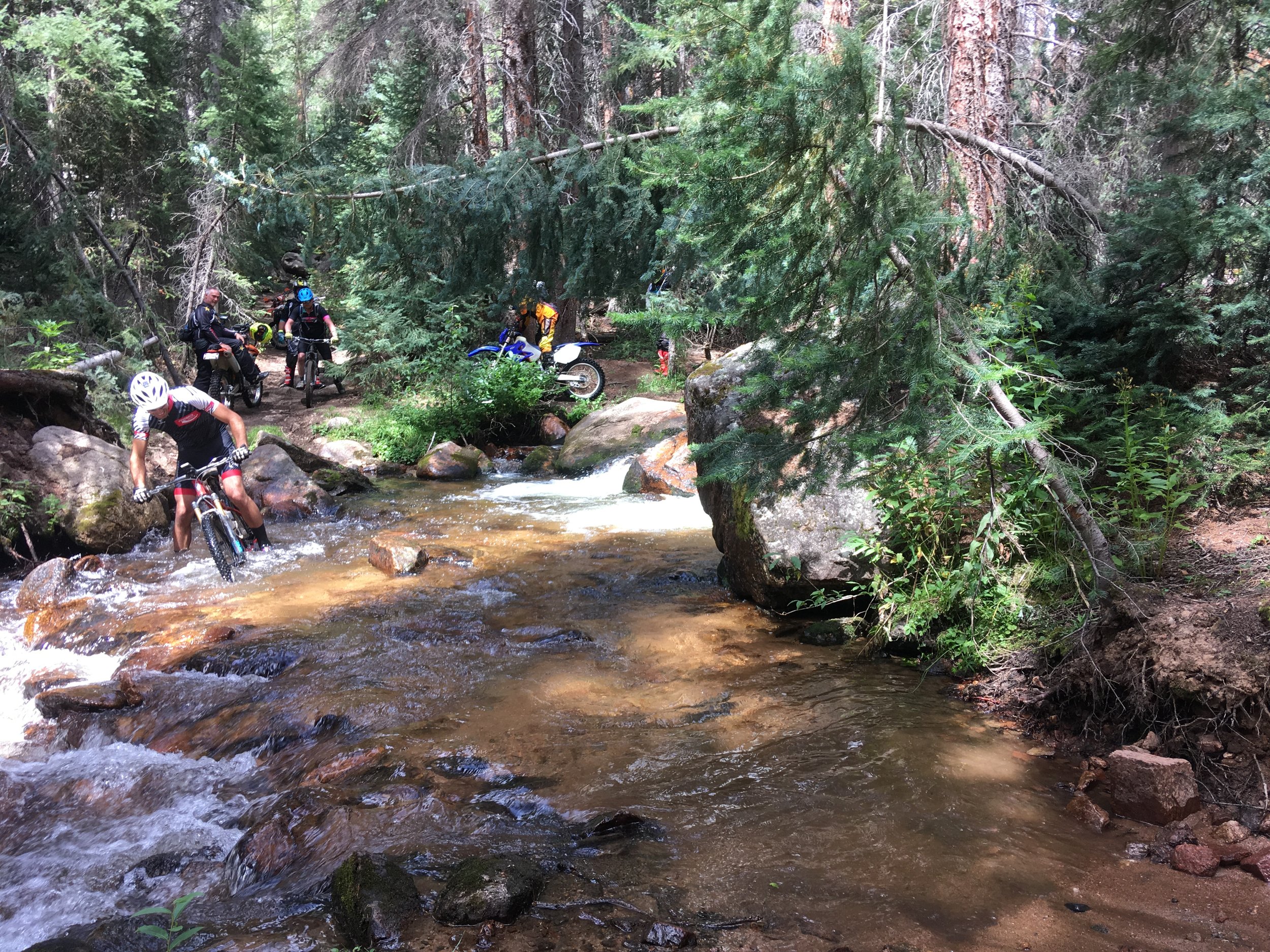
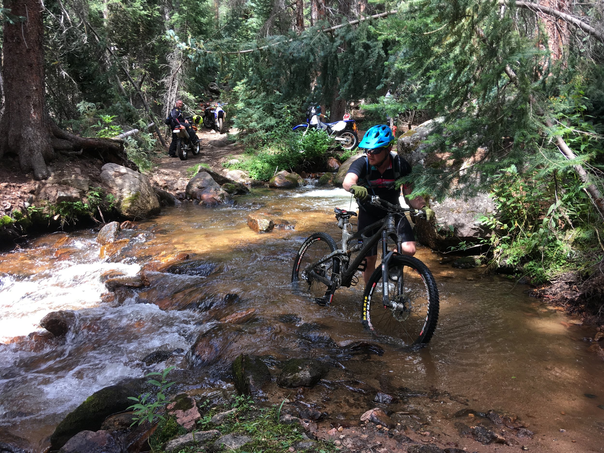
On the following day, we rode the Agate Creek descent off of Monarch Pass. It was also splendid. In fact, it may be my favorite way to get down from the top of that mountain.
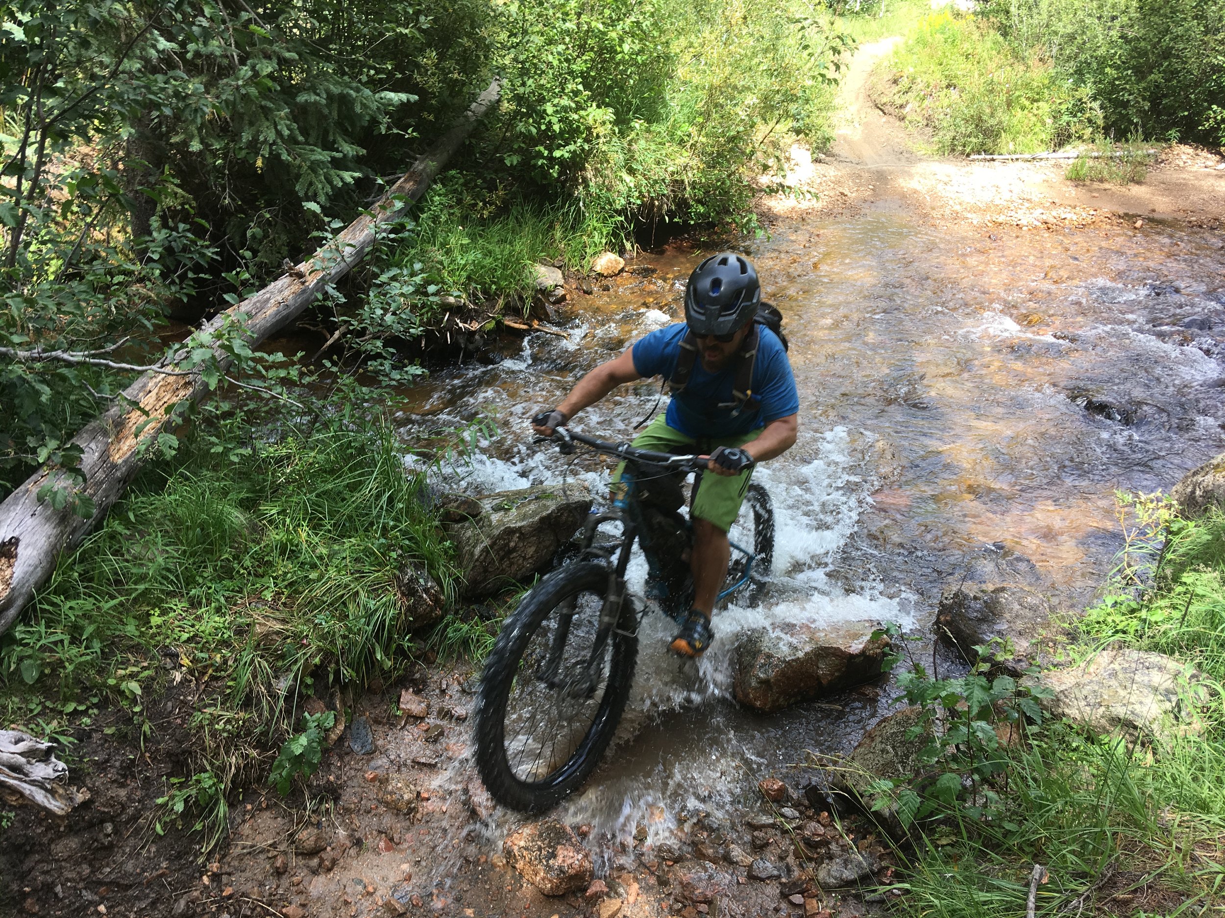
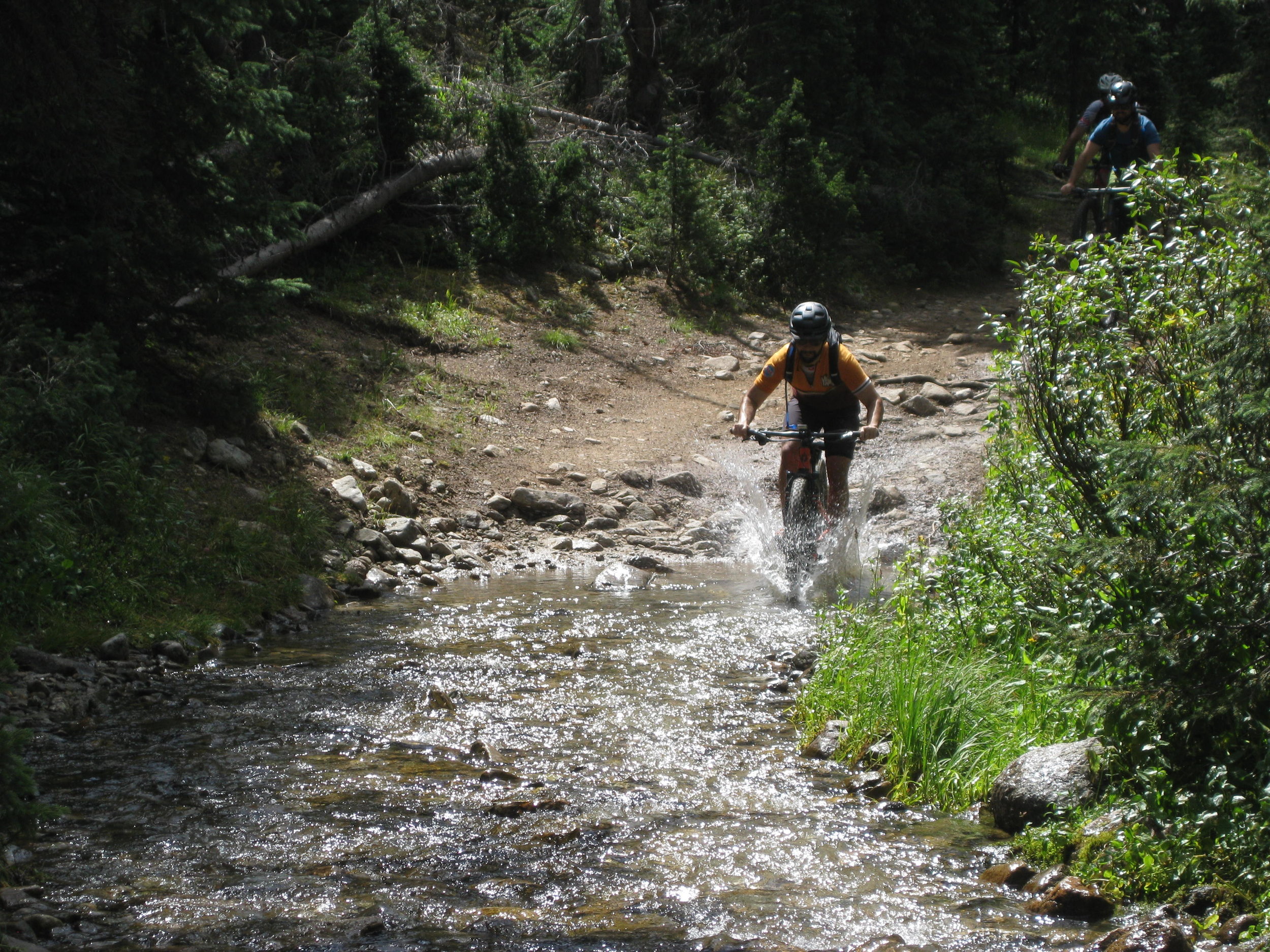
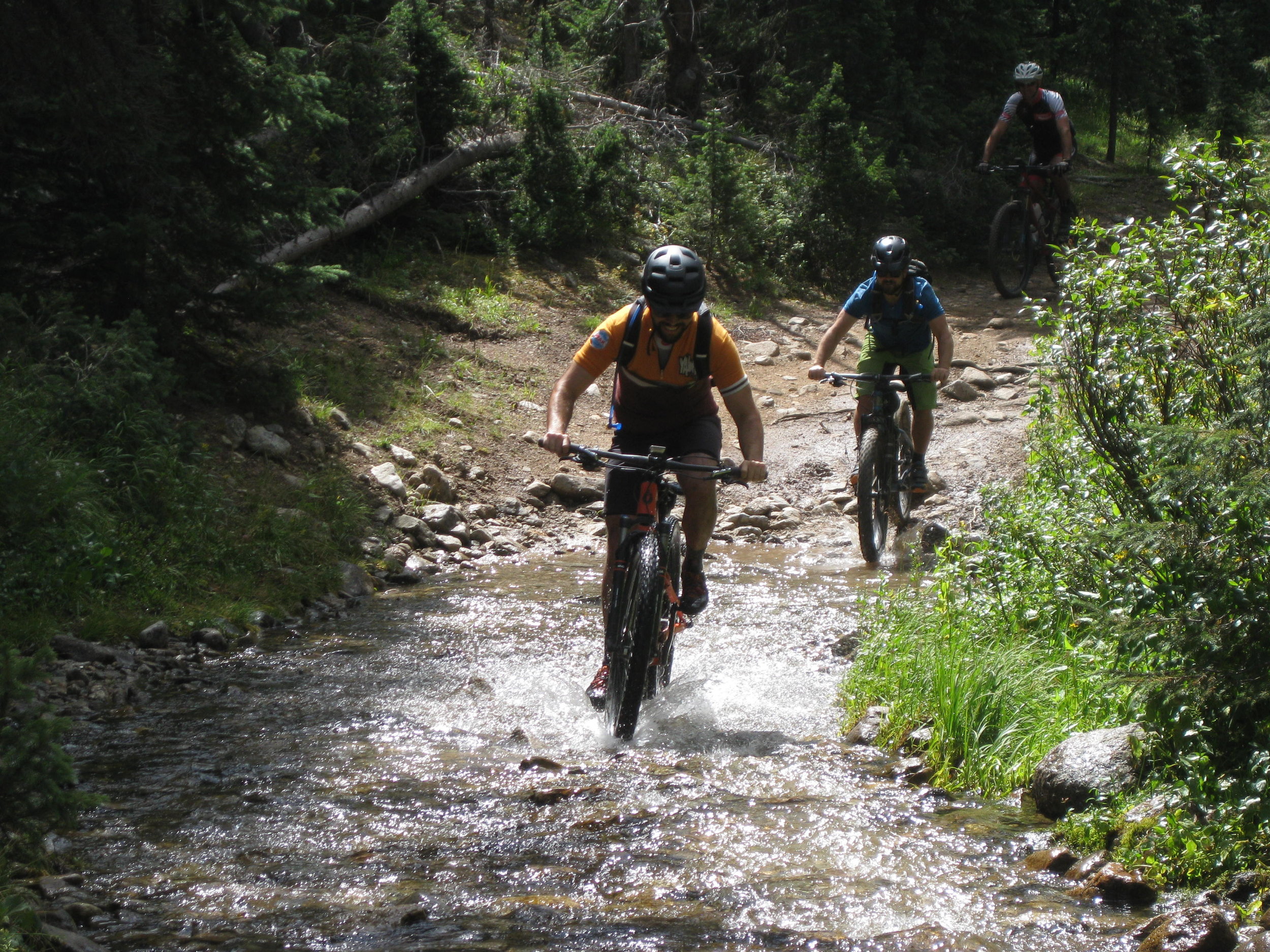
We crossed Agate Creek roughly six thousand times, and each crossing was slightly less ridable than the last (in the best possible way).
In October, we went to Grand Junction, but I can't blog about that now or it would be more or less on time, and we can't have that.